Land and Construction Monitoring
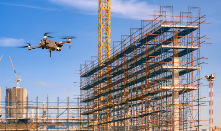
Real-time aerial tracking for construction sites and infrastructure projectsOur drone-based monitoring solutions allow project managers and engineers to follow progress remotely, assess compliance with plans, and detect any structural or environmental deviations. We provide periodic aerial surveys and visual documentation throughout the project lifecycle.
- Accurate progress tracking using aerial imagery
- Ideal for large construction and land development projects
- Enables better decision-making and project management